2025 FEMA Proposed Flood Maps for the Boquet Watershed
In 2024 and 2025, BRASS worked extensively with FEMA, the five Towns in our watershed and our residents to interpret, correct and demystify the new proposed flood maps created for the Boquet towns. You can download BRASS' simple guide to determine if your property will be impacted by the map changes. Click here for the downloadable document.
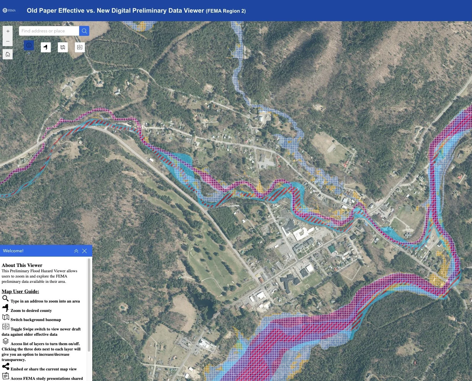
You can find the digital maps here: https://arcg.is/eKzr01. The maps display three different colored zones. They are:
The “Regulatory floodway” (where no development is permitted),
the 1% Annual Chance of Flood Hazard zone (often called the 100-year flood) - homes here are required to have flood insurance, and
the 0.2% Annual Chance Flood Hazard (500-year flood) zone (not required to have flood insurance.)
Below is a video tutorial on the same topic.
Note also that the NYSDEC released the Boquet River Flood Mitigation and Resilience Report which gives greater detail on future flooding than the FEMA maps. See our Watershed Planning page for more.